As a full-service land brokerage company, Great Southern Land assists landowners with all their property needs, including the potentially complex procedures for land divisions. In our marketing efforts, we sometimes recommend dividing a property for sale to achieve an overall higher total price.
There are other reasons for dividing property beyond marketing. We are well regarded by local attorneys as experts in dividing jointly owned land between co-owners. When a property is jointly owned by individuals with different goals and needs, we are often asked to divide the property, allowing each owner to receive a solely owned parcel or parcels. This empowers you to be the captain of your own ship, using or selling the property to meet your needs.
In 1976, Fletcher Majors, ALC, prepared his first land division of 2,500 acres jointly owned by two brothers and their cousin at the request of a Dallas County attorney. Since then, Fletcher Majors, ALC, and his team have divided thousands of acres of jointly owned property. A key lesson learned is that the goals of the joint owners are more important than the physical characteristics of the property. While soil types, topography, flood plains, land use, improvements, title issues, access, and location are crucial in determining market value, it is essential to consider the future benefits and responsibilities as sole owners. We engage in discussions with all future owners to understand their priorities and any personal or emotional attachments to certain portions of the property.
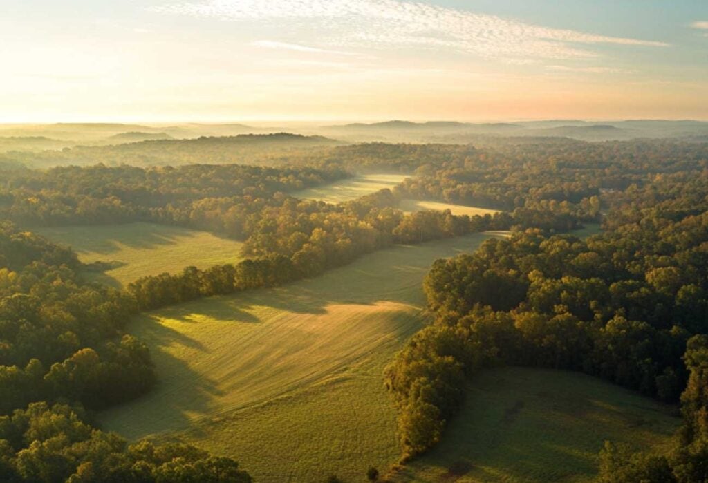
Great Southern Land stays at the forefront of technology to provide the best possible services to our clients. Our utilization of Geographic Information System (GIS) mapping offers a framework for gathering, managing, and analyzing location data, allowing us to produce state-of-the-art maps and gain insights into property attributes using advanced technology.
These tools enable us to provide our clients and prospective buyers with detailed maps showing land use, soil data, flood data, roads, streams, location features, topography, bare earth LIDAR hill-shade, and many other property attributes that affect a property's value and usability. We may develop a series of maps and aerial photographs illustrating the property boundary, land use polygons, historical aerial photographs, color infrared aerial photographs, wintertime aerial photographs, LIDAR hill-shade, topographic maps, county road maps, regional street maps, and other types of maps.
Our GIS mapping tools allow us to cater to the unique needs of each land buyer, producing a personalized, detailed list of properties best suited for them.
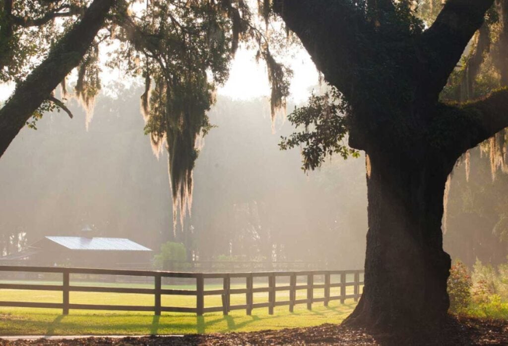
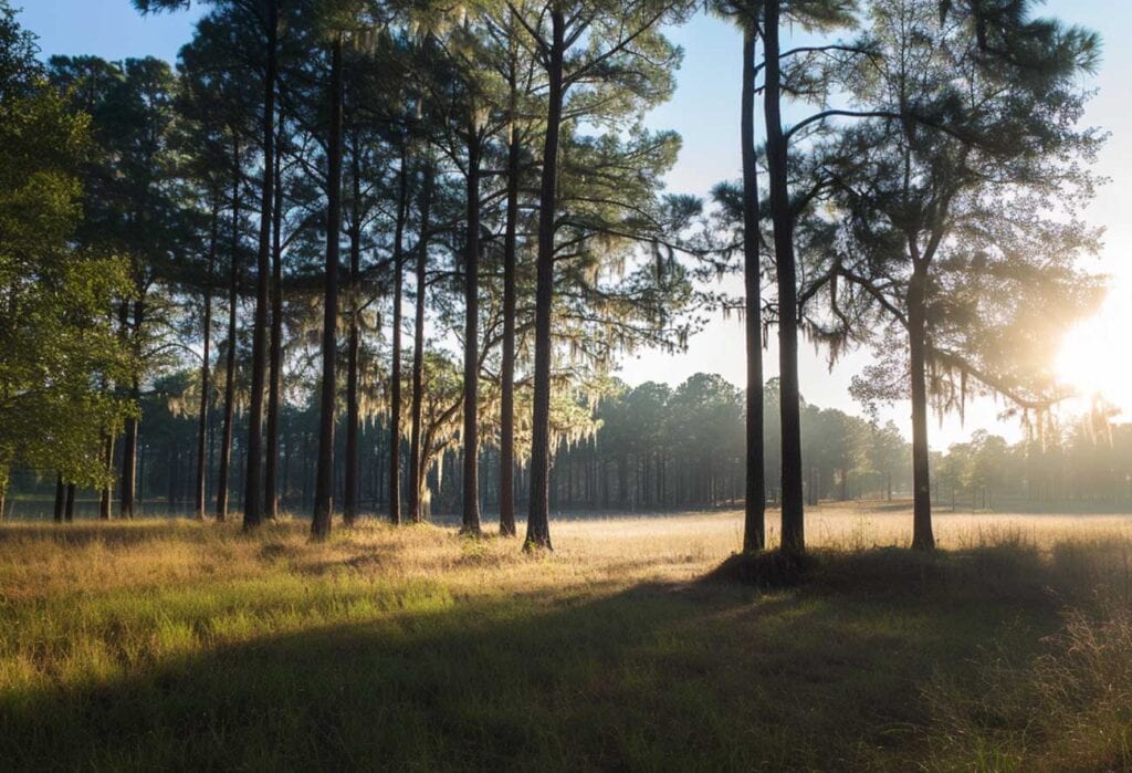
At Great Southern Land, we believe a picture can truly speak a thousand words. Our team of experts customizes an aggressive marketing strategy for each new property listing, aiming to make potential buyers feel as if they are there even from a thousand miles away. Alabama’s natural diversity and incredible topography must be seen to be appreciated. We take pride in showcasing your property, allowing potential buyers to experience it firsthand without leaving their computer screen.
Our agents specialize in identifying and photographing the distinctive attributes of your property. We often use LIDAR imagery to locate unique features on your property that can add value. In addition to capturing images of streams, roads, improvements, creeks, lakes, and wildlife, we utilize drone photography and videography to highlight your property. Showcasing photos of family outings, game camera captures, or catches from your lake can enhance your land listing by highlighting its unique features and natural beauty, making it more appealing to potential buyers.
If you are considering listing your property for sale, contact Great Southern Land today. One of our expert agents or brokers will be happy to answer any questions and discuss how we will tailor a marketing plan for your property to ensure it receives the attention it deserves.
Sign in to save properties, save searches, and set up notification alerts.
Sign up to save properties, save searches, and setup notification alerts.